


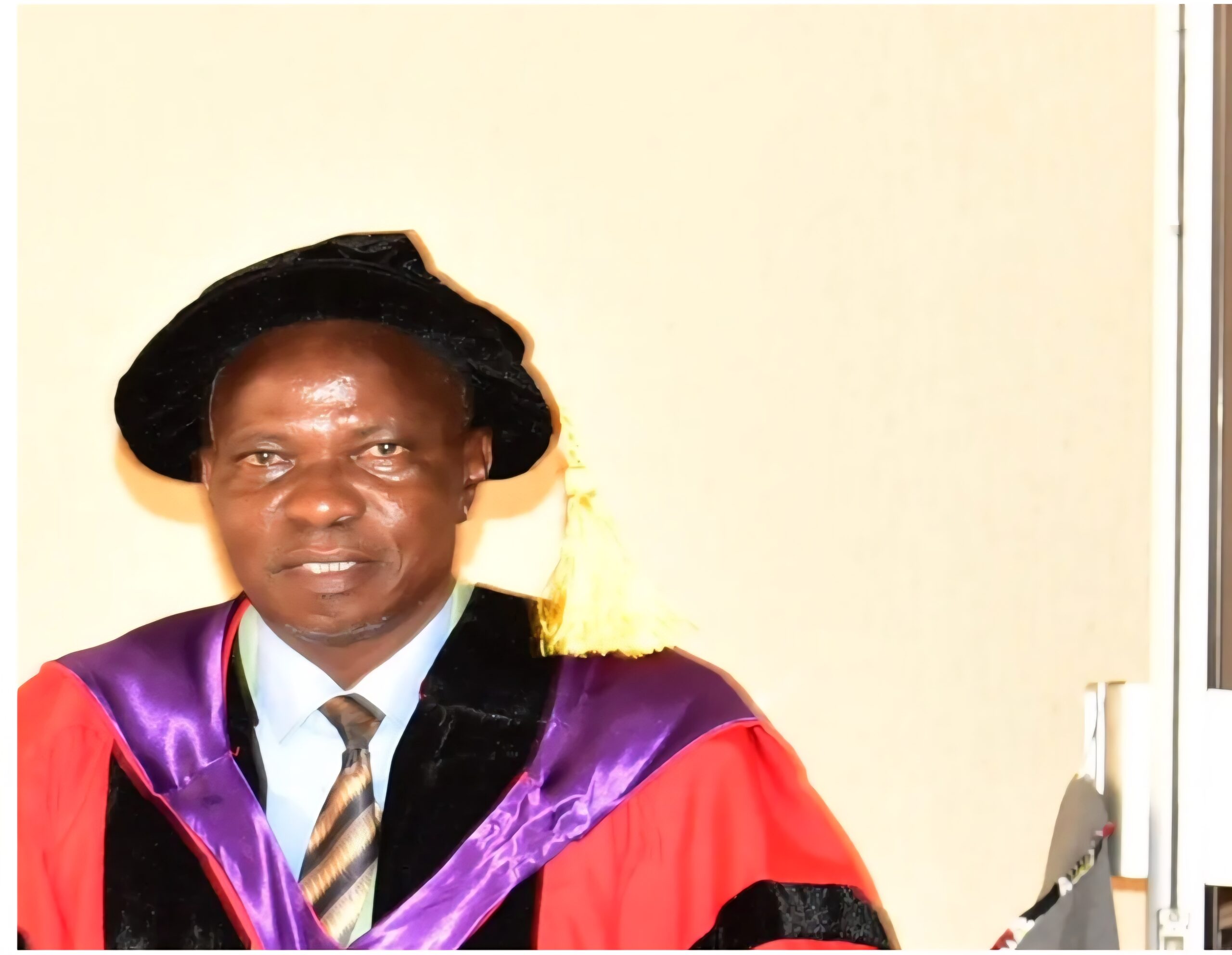


A Professor of Surveying and Geoinformatics (Gravimetric Geodesy) at the Federal University of Technology, Akure (FUTA), Prof. Timothy Idowu, has called for the integration of Artificial Intelligence (AI) with established geophysical methods to improve accuracy, reliability and explainability in mineral exploration.
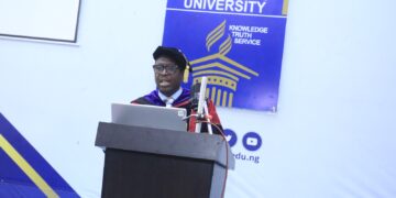
Prof. Idowu made the call while delivering FUTA’s 189th inaugural lecture, titled “Unlocking Subterranean Secrets: Artificial Intelligence (AI)-enhanced Gravimetric Geodesy for Detecting Underground Beneficial Graves.” He said the fusion of AI with geodesy and geophysical knowledge holds strong potential for breakthroughs in subsurface exploration.
According to him, although AI-enhanced approaches have high interpretative power in gravity data processing, they also face challenges such as data quality, model interpretability and high computational demands. He therefore stressed the need to balance data-driven AI models with sound geophysical principles.
The professor advocated the integration of multisource datasets, noting that AI systems should combine gravimetric data with seismic, magnetic, electromagnetic and remote sensing information to achieve more dependable subsurface interpretations. He also called for the development of geo-intelligent platforms capable of managing massive datasets from airborne, satellite and ground surveys.

Prof. Idowu further highlighted the growing influence of AI in education, research and administration, but warned that increased access to AI tools poses risks to academic integrity through plagiarism and unauthorized collaboration.
He identified key areas of AI to include machine learning, natural language processing, computer vision, robotics, expert systems, and knowledge representation and reasoning, adding that AI applications now cut across sectors such as healthcare, finance, transportation, agriculture, education, security and geosciences.
On geoscience applications, he said AI is being used in mineral exploration, earthquake and volcanic prediction, climate change modelling, environmental remediation, water resource management, planetary science and groundwater exploration. Major application areas include remote sensing, hydrology, seismology, geo-hazards, subsurface imaging and climate and weather forecasting.
Explaining how AI has enhanced gravimetric geodesy, Prof. Idowu said its integration improves anomaly detection, predictive modelling and large-scale data handling. He also recommended real-time and autonomous exploration using AI during airborne or drone surveys, advanced noise reduction techniques, cloud computing and edge AI for collaboration and field analysis, as well as AI-driven gravimetry for sustainable exploration of geothermal resources and aquifers.
Chairing the event, FUTA Vice-Chancellor, Prof. Adenike Oladiji, described Prof. Idowu as a seasoned academic whose intellectual impact is evident in the many graduates he has mentored. She noted that he has held several key management positions within and outside the university and has served as editor and reviewer for local and international academic journals.